Introducing Agribound: Unified Field Boundary Delineation from Satellite Imagery
Historical post
This post describes agribound 0.1.x and is kept as it was published,
except for these changes made in 1.0.0: a comparison with other tools was
removed; the statement that the New Mexico linework "approaches the
quality of manual human digitization", for which no evaluation was made,
was removed; the gallery sentence now links to the archived 0.1.x
gallery and no longer says it covered nine regions, five satellites and
all engines (it had ten study areas and no GeoAI example); the manuscript
title in the citation was updated (see the note there); and links were
updated: the images now point to assets/gallery_0.1x/, the TESSERA
post is named and linked through the TESSERA blog index, and Jeremy
Rapp's name links to the ORCID record (the Michigan State directory page
it linked to no longer exists).
Several statements in it no longer hold for agribound 1.0, and some
0.1.x results were affected by defects fixed in 1.0.0 (see the
v1.0.0 release post, the
migration guide and the
CHANGELOG).
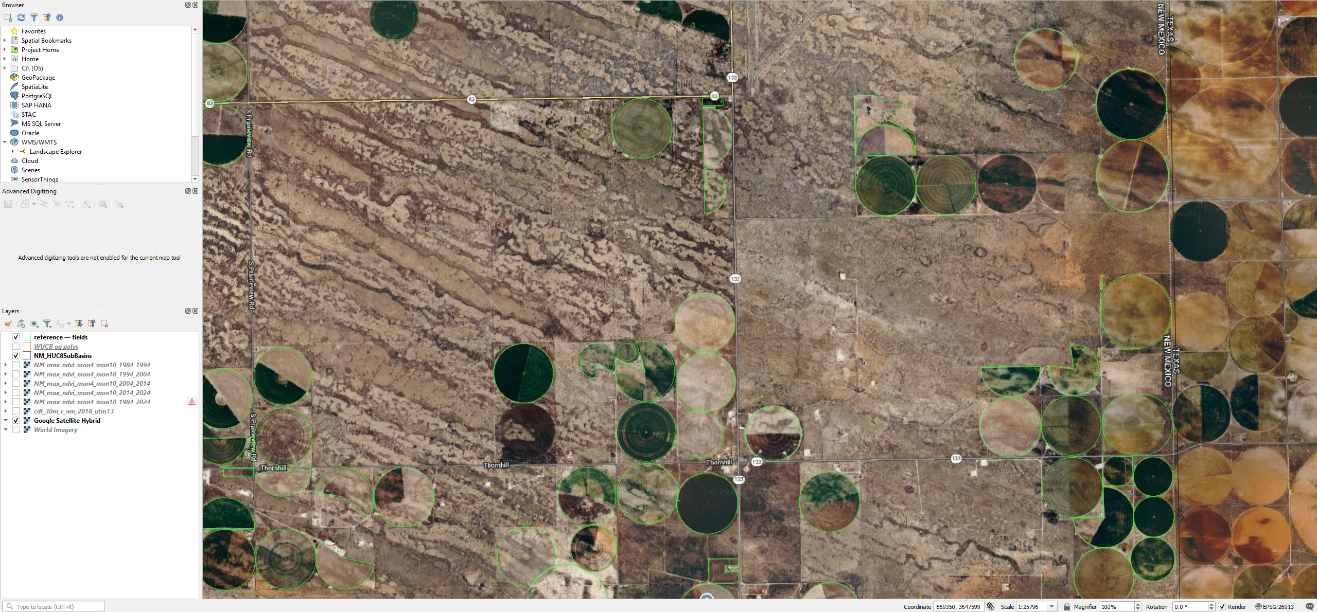
We are excited to announce the public release of agribound, a Python package that unifies seven complementary approaches to agricultural field boundary delineation into a single, reproducible pipeline. Whether you are working with 1 m NAIP imagery over U.S. croplands or 10 m Sentinel-2 composites anywhere in the world, agribound lets you go from raw satellite data to clean, vectorized field boundary polygons in a single function call.